

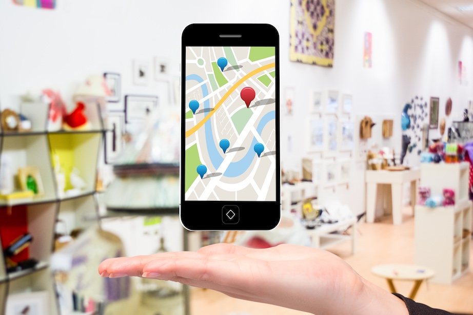
If you have opened your direct message inbox lately, you probably noticed a colorful, interactive map resting just above your conversations. This is Meta’s “Friend Map,” a major spatial update designed to make social media feel a bit more physical, local, and immediate.
Seeing where your close friends are hanging out in real-time introduces an undeniable element of fun and real-world coordination. As creators strive to get more eyeballs on their Reels, many look to buy high-retention Instagram views to spark algorithmic momentum; however, organic, localized discovery is fast becoming just as powerful thanks to Instagram’s new physical map.
Yet, the moment we see our own profile picture pinned to a digital street corner, a protective instinct kicks in. The convenience of easy meetups is instantly balanced by a much more urgent, visceral question: who exactly can see me right now? Managing this tension requires looking past the visual novelty to understand how the feature works under the hood and how to configure your spatial privacy without disconnecting entirely.
What is the Instagram Map Feature?
The Instagram Friend Map is an opt-in, interactive geolocation space directly integrated into your DM inbox. Rather than displaying location data to your entire follower count, it focuses on the connections you actively maintain, specifically friends who follow you back.
This feature represents a massive strategic pivot for Meta. For years, social platforms focused on keeping you glued to a purely virtual, algorithmic feed. The map shifts the focus toward “spatial socialization”—bridging the gap between online interactions and actual physical meetups. By turning the DM inbox into a localized hub, Instagram is attempting to match the casual, ambient location-sharing that made Snapchat’s Snap Map a staple for younger demographics.
How Does the Instagram Map Work?
The map collects and displays geographic data in two distinct ways, and understanding the line between them is critical for protecting your digital footprint.
1. Real-Time (Active) Location Sharing
When you explicitly opt into active sharing, Instagram uses your mobile device’s GPS, Wi-Fi connections, and Bluetooth to pinpoint your geographic location. This position updates on the map only when you actively open the app. If you close Instagram, your last known location remains visible on your friends’ maps for up to 24 hours before disappearing.
2. Geotagged Content Pinning
If you tag a physical location in a Story, Reel, or feed post, that content automatically anchors itself to the corresponding spot on the map. This happens even if you have active real-time location sharing completely turned off. This content is visible to whoever your post’s privacy settings allow, serving as a static, content-based marker rather than a continuous GPS stream.
Real-Time Tracking vs. Tagged Posts: The Crucial Difference
Many users accidentally conflate these two features, leading to unnecessary panic or unintended exposure. This breakdown highlights how they differ across vital safety and performance metrics:
| Tracking Vector | Friend Map Sharing | Geotagged Posts |
| Who Sees It | Selected friends who follow you back | Anyone who can view your Stories/Reels |
| Duration | Up to 24 hours after your last app open | 24 hours (Stories) or permanent (Feed posts) |
| Precision | High-precision GPS coordinates | Standard landmark or neighborhood tagging |
| Battery Impact | Low (Only updates when app is open) | None (Static, single data transfer) |
Cybersecurity experts warn that the primary danger of spatial features is social drift. While you might initially share your location with a small circle, forgetting who has access over time can leave you vulnerable to unwanted tracking, persistent ambient surveillance, and real-time physical security risks.
How to Configure and Control Your Privacy Settings
Taking control of your digital boundaries does not require deleting Instagram. Meta has built several deep privacy layers into the map interface—you just need to know where to find them.
- Entering the Map Settings: Open your DM inbox, tap the Map icon at the very top of your screen, and tap the Settings gear icon in the top right corner.
- Restricting Your Audience: Under the “Who can see your location” menu, avoid selecting your entire mutual follower list. Instead, choose Close Friends or manually build a custom whitelist of trusted individuals.
- Enabling Ghost Mode: If you want to browse the map without broadcasting your coordinates, select No One (or Ghost Mode). This instantly hides your profile from everyone else’s map.
- Setting Up “Hidden Places”: To keep sensitive areas private, use the “Hidden Places” feature. This allows you to draw a virtual geofence around specific areas, such as your home, school, or office, ensuring your map pin automatically disappears whenever you enter those boundaries.
- System-Level Lock: On iOS or Android, go to your phone’s system settings, find Instagram under your apps, and change location access to Never or While Using the App to block background GPS tracking.
The Final Verdict: To Map or Not to Map?
The Instagram Map is a remarkably fun tool for keeping up with your inner circle, organizing spontaneous coffee runs, and discovering great local spots that your friends recommend. However, your physical safety should never be compromised for social convenience. If you’re interested in how mapping features can enhance online experiences beyond social media, read more about interactive maps for websites.
By treating location sharing as a temporary, highly curated action rather than a permanent background permission, you can enjoy the spatial features of the platform without leaving your real-world routine exposed to the public eye. Keep your map settings tight, audit your list of shared friends regularly, and share your adventures intentionally.
Image by creativeart on Magnific
Contributed posts are advertisements written by third parties who have paid Woman Around Town for publication.